Das Produkt befindet sich in einem externen Lager. Die Lieferfrist: ca. 5-6 Werktage. Mehr Info
Versandoptionen - Wird im Checkout ausgewählt
Versand mit DHL - PaketShop
Kostenloser Versand
Versand mit DHL zur Adresse
Kostenloser Versand
Versand mit GLS - PaketShop
Kostenloser Versand
Versand mit GLS zur Adresse
Kostenloser Versand
Alle Versandoptionen anzeigen (4)
EUR
356,13
ex. MwSt. 299,27
Gesamtbetrag inkl. Versand.
356,13
Die Funktion setzt voraus, dass Sie angemeldet sind. Erstellen Sie einen Nutzer und verwenden Sie unser intelligentes Listensystem, um zukünftige Einkäufe, regelmäßige Einkäufe oder Wunschlisten zu verfolgen. Jetzt registrieren Anmelden
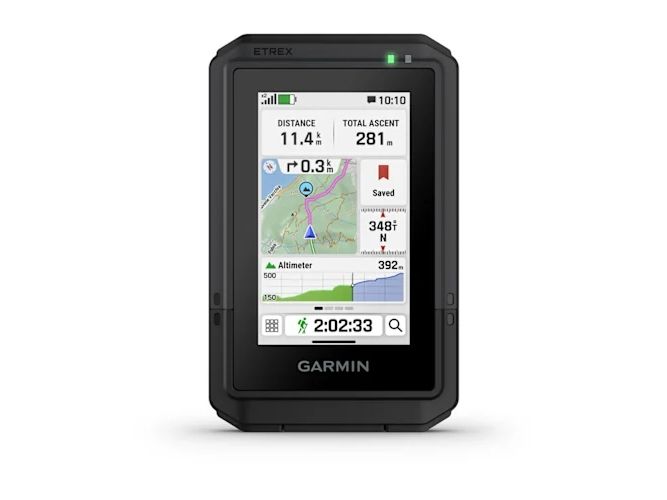
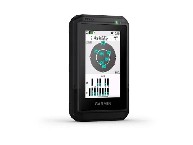
TAP INTO ADVENTURE This essential, simple-to-use touchscreen GPS handheld offers preloaded TopoActive maps with routable trails and roads for your outdoor adventure. Plus, the durable design and long battery life help you enjoy all your activities even more.
TOUCHSCREEN The slim, pocket-size handheld features a bright 3″ high-resolution colour touchscreen so you can easily swipe and zoom to follow your route.
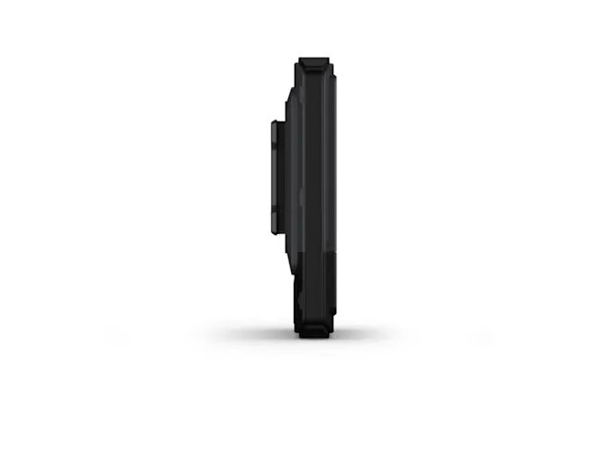
RUGGED DESIGN The eTrex Touch handheld is purpose-built with an IP67 water rating and impact-resistant (MIL-STD-810) design to withstand weather and rugged conditions.
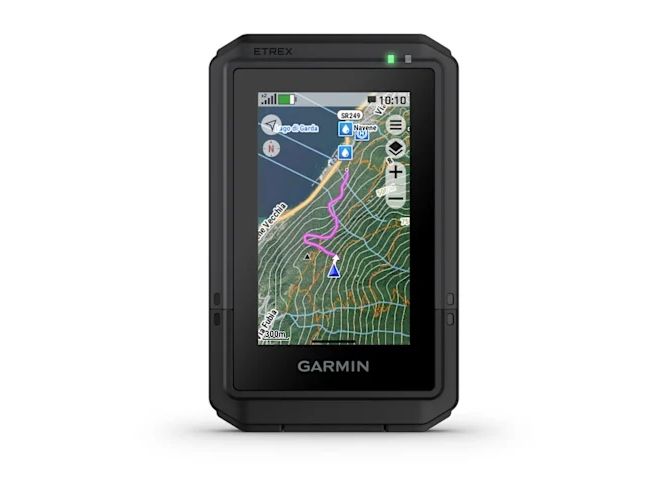
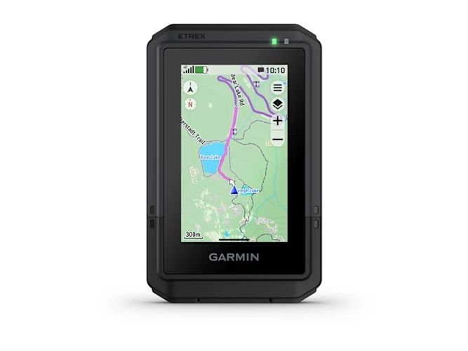
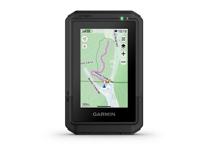
PRELOADED MAPS View detailed TopoActive maps for roads and trails, and see terrain contours, topographic elevations, summits, parks, rivers, lakes and geographical points plus thousands of points of interest. Plus, get easy access to additional TopoActive mapping around the globe.
OUTDOOR MAPS+ Purchase a subscription to Outdoor Maps+ for ongoing access to a wide variety of premium mapping content, including satellite imagery, campgrounds and more. Download and receive automatic updates via Wi-Fi® technology.
PLAN AND REVIEW YOUR TRIP Connect with the Garmin Explore app to plan and review trip data on your smartphone or tablet and manage your waypoints, courses and activities.
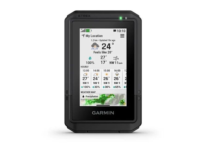
WEATHER Get real-time forecast information so you are aware of the changing conditions. This feature requires an active internet or Wi-Fi connection, or use of the Garmin Explore app on your paired smartphone.
Zweck
Persönlich
Produktfarbe
Schwarz
Schutzfunktion
Wasserfest
Elektronischer Kompass
Nein
Basemap
Ja
Vorinstallierte Karten
TopoActive, routable
Internationale Schutzart (IP-Code)
IP67
Sonnen- u. Mondauskunft
Ja
Flächenberechnung
Ja
Eingebautes Display
Ja
Bildschirmtechnologie
TFT
Bildschirmdiagonale
7,62 cm (3")
Anzeigegerät
38,8 x 64,8 mm
Display-Auflösung
240 x 400 Pixel
Eingebautes memory
Ja
Kapazität des Eingebauten Speichers
32 GB
Wegpunkte
Ja
USB Anschluss
Ja
Serielle Schnittstelle
USB C
Akku-/Batteriebetriebsdauer
130 h
Akku-/Batterietechnologie
Lithium-Ion (Li-Ion)
Auswechselbare Batterie
Ja
Gewicht
150 g
Breite
66 mm
Tiefe
105,4 mm
Höhe
24,6 mm
Das Produkt hat folgende Artikelnummer in unserem System
EAN:
0753759346843
Warum ist ein und dasselbe Produkt unter verschiedenen Artikelnummern erhältlich?
Hersteller bringen oft dasselbe Produkt unter verschiedenen Artikelnummern auf den Markt, in der Regel handelt es sich dabei nur um unterschiedliche Versionen der Verpackung. Die Verpackung kann zum Beispiel für verschiedene Länder bestimmt sein.
Wir versuchen unser Bestes, um die Produkte zu vereinheitlichen, aber es kann vorkommen, dass dasselbe Produkt unter verschiedenen Artikelnummern in unserem System erscheint.